About This Hike
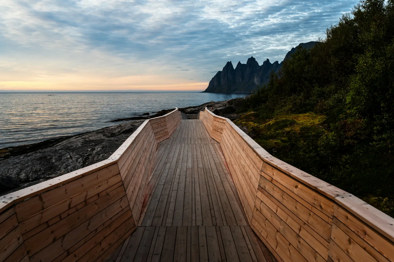
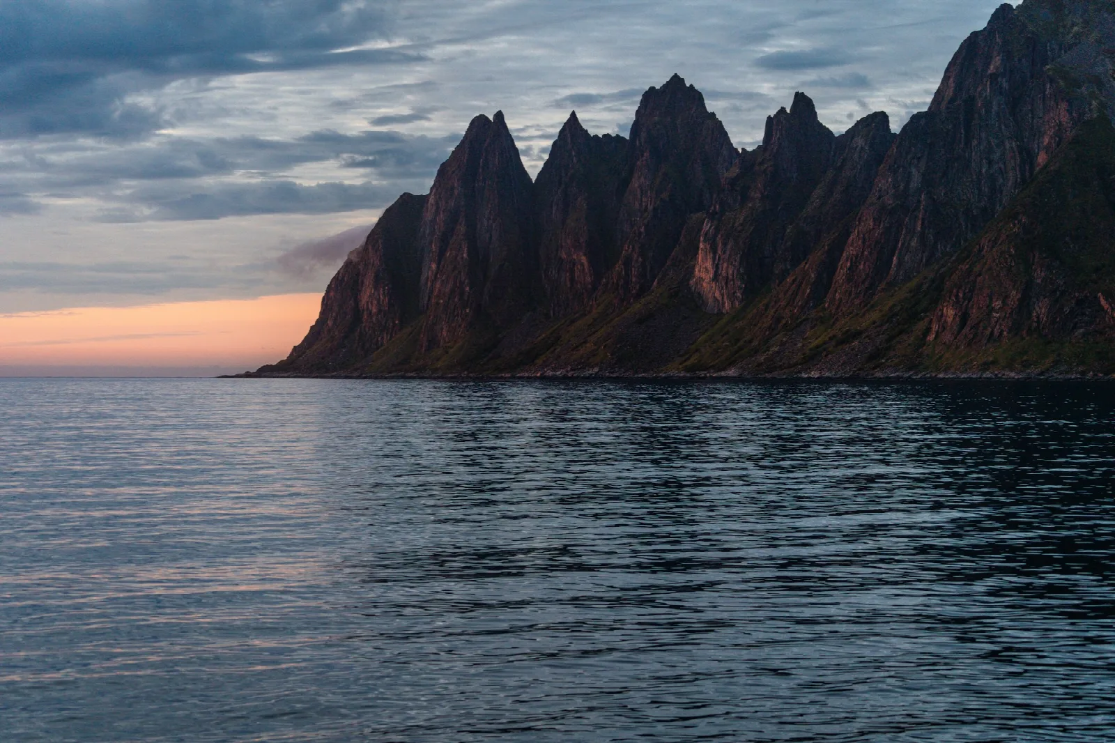
Djevelens Tanngard, or the Devil's Teeth, is a common name for the jagged Okshornan peaks seen from Tungeneset on Senja. This page describes the official roadside viewpoint, not a hiking route onto the mountain range. Tungeneset lies on road 862 at the headland separating Steinfjorden and Ersfjorden, along Norwegian Scenic Route Senja. From the parking area, a wheelchair-accessible walkway built in Siberian larch leads over the coastal rock towards the waterline. The designed route opens views west towards the Norwegian Sea and north towards Okshornan without requiring visitors to cross rough terrain. Stay on the walkway when mobility, wet rock, snow or ice makes the surrounding slabs uncertain; outside the constructed path, the coast is uneven and exposed to wind and spray. The stop can be brief, but allow time for changing light and visibility rather than treating the mountains as guaranteed to be clear. Toilets normally open from early May to early October, and the facility cannot receive waste from motorhomes or caravans. Check road and weather conditions before including Tungeneset in a winter or storm-day itinerary.
Highlights
- ✓ Full view of the Okshornan ridge, the peaks that give Devil's Teeth its name
- ✓ Wheelchair-accessible Siberian larch boardwalk out across the coastal rock
- ✓ Part of Norwegian Scenic Route Senja, with parking and seasonal toilets
- ✓ Positioned on the headland between Steinsfjorden and Ersfjorden, facing the open Atlantic
Getting There
Use the Tungeneset rest area and viewpoint on the Senja National Tourist Route. Toilet facilities are open from early May to early October; motorhome and caravan toilet emptying is not permitted.
Municipality: Senja, Troms
Trailhead: 69.489906, 17.333379 · Open in Google Maps
Before You Go
Use Tungeneset as a short, accessible scenic-route stop rather than navigating towards the mountain range itself. The larch walkway is the designed route across the headland; the surrounding coastal rock is uneven and becomes much less comfortable in wind, rain or winter conditions. The official GPS point is useful for a road-trip itinerary, but check the current road and weather situation rather than planning around the seasonal toilet alone.
Information checked: September 2026 against National Scenic Route Senja information.
⚠️ Safety Notes
- Tungeneset is a viewpoint and rest area, not a marked hiking route to the Okshornan peaks.
- Stay on the walkway and use extra care on the coastal rocks, which are uneven outside the constructed route.
- The headland is exposed to coastal weather; check conditions and dress for wind and rain.
- Toilet facilities are normally open only from early May to early October.
- Motorhome and caravan toilet emptying is not permitted at Tungeneset.