About This Hike
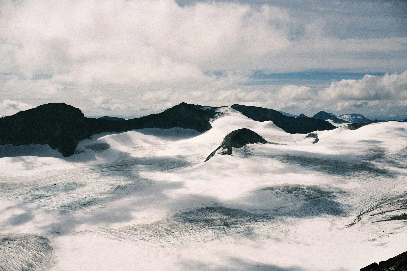
Galdhøpiggen (2,469 m) is the highest mountain in Norway and Northern Europe. This page covers the classic route from Spiterstulen, the usual option for capable independent hikers because it does not require a glacier crossing. The 12-kilometre return route follows a clearly marked path and has about 1,478 metres of total ascent. After crossing the bridge by the lodge, keep right on the marked trail, climb from the small woodland into loose gravel and high-alpine terrain, then continue via Svellnose and Keilhaus topp before the final ascent. Spiterstulen estimates four to six hours up and roughly nine hours for a steady complete day without long breaks. The shorter-looking alternative from Juvasshytta is a different undertaking: it crosses Styggebreen, where hidden crevasses make an organised roped crossing essential. Choose your start before comparing distance, time or equipment, and never use the Juvass route as an unguided shortcut.
Highlights
- ✓ Summit of Norway and Northern Europe's highest mountain at 2,469 m
- ✓ Glacier-free ascent on marked paths from Spiterstulen
- ✓ Panoramic views across the Jotunheimen peaks and glaciers
- ✓ Two clearly different route choices: independent from Spiterstulen or a guided rope team from Juvasshytta
Getting There
Park at Spiterstulen for the glacier-free route. For Juvasshytta, Galdhøpiggvegen is a seasonal private toll road and can close at short notice; check the lodge’s current road information.
Before You Go
Choose the start before judging difficulty. Spiterstulen is the long, independent, glacier-free route; follow the T-marked path on both ascent and return and do not drift onto the Juvasshytta/Piggbreen side in poor visibility. Juvasshytta is shorter in walking distance but crosses Styggebreen, so it needs a booked rope team rather than an independent shortcut.
Information checked: September 2026, against Spiterstulen and Juvasshytta's current Galdhøpiggen route guidance
⚠️ Safety Notes
- This is a full-day high-altitude climb with about 1,478 metres of total ascent over 12 km, demanding good fitness and an early start to allow a safe turnaround.
- High-mountain conditions can change quickly. Check the forecast, carry warm windproof layers and turn back if conditions deteriorate.
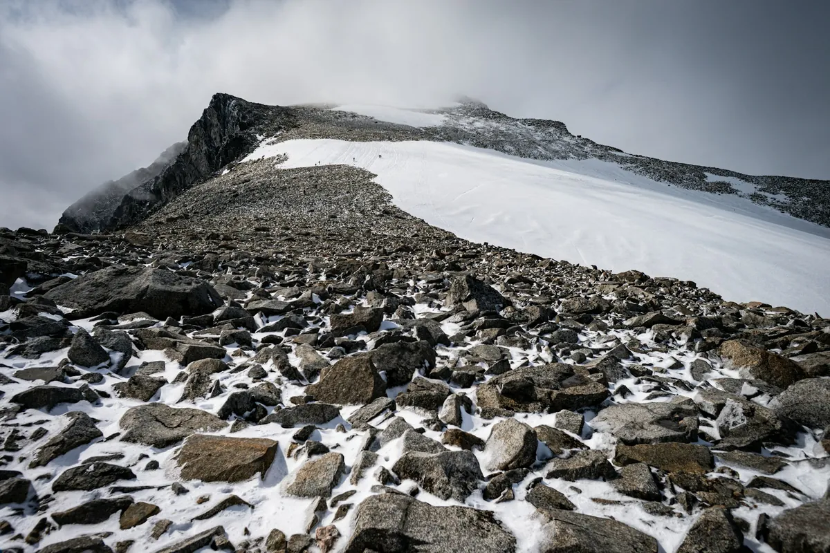
- The upper mountain is bare rock and scree that can hold snow and ice, and although marked it is hard to follow in fog, so bring a map, compass or GPS.
- Styggebreen has snow-covered crevasses. Join the official guided rope team; crossing it alone without ropes, equipment and experience can be fatal.
- Do not rely on services after leaving your starting lodge. Carry sufficient food, water and warm clothing, and check the forecast before setting out.