About This Hike
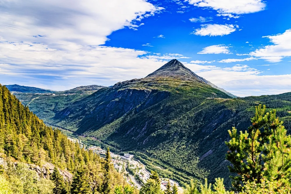
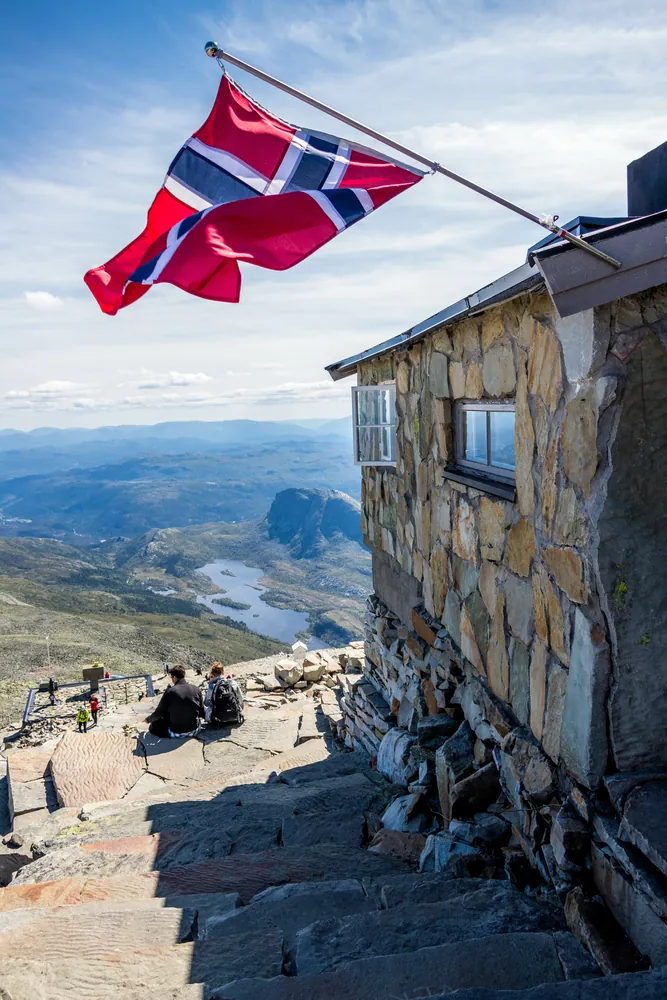
Gaustatoppen rises to 1,883 metres above Rjukan and offers one of southern Norway's broadest panoramas in clear weather. The popular main route starts at Stavsro on the road between Rjukan and Tuddal. Current destination guidance lists it as about 4.3 kilometres each way, 710 metres of ascent and roughly two and a half hours up; allow five to seven hours for a relaxed return trip. The path climbs steadily and is wide and clearly marked, but increasingly rocky near the summit, where supportive hiking footwear matters. Mountain weather can replace the famous view with cold cloud and wind very quickly. Gaustatoppen Tourist Cabin stands just below the top and serves simple food when staffed, but food, shelter and opening hours should never be assumed. Stavsro parking can fill during busy summer periods. The seasonal shuttle links Rjukan, Gausta, Gaustabanen and Stavsro, making it a useful alternative after checking that day's schedule. Gaustabanen is a separate railway inside the mountain with its own entrance, ticket and operating conditions; it is not part of the Stavsro walking route.
Highlights
- ✓ Views over 1/6 of Norway
- ✓ Iconic summit tower
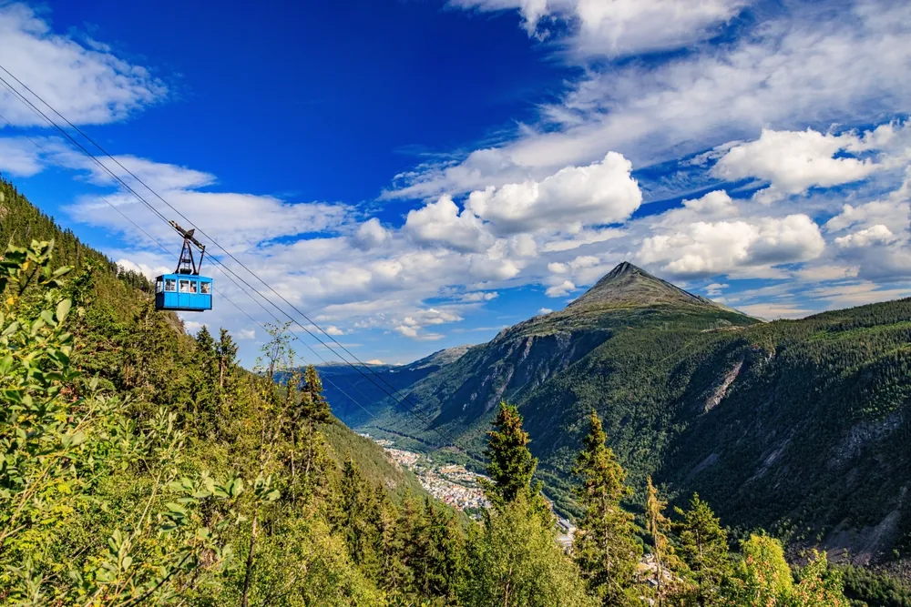
- ✓ Optional funicular access
- ✓ Staffed summit cabin in season
Getting There
Paid parking at Stavsro on the Rjukan–Tuddal road. Spaces are limited during the high season; use the current Fjellbuss timetable or alternative parking in the Gausta area if needed.
Before You Go
Gaustatoppen has two separate visitor experiences: the exposed, rocky 4.3 km one-way summit hike from Stavsro and the Gaustabanen railway inside the mountain. A railway ticket does not shorten the Stavsro hike, and a Stavsro plan should not depend on Gaustabanen operating. Choose one, check its current timetable or conditions, and use Fjellbuss or early parking planning on busy summer days.
Information checked: September 2026, against current Visit Norway and Gausta visitor guidance
⚠️ Safety Notes
- The upper section is rocky and the mountain is exposed to rapidly changing weather. Do not continue in poor visibility or strong wind.
- Bring proper hiking boots and warm, windproof and waterproof layers. Check current conditions before setting out and turn back if conditions deteriorate.
- The summit is much colder and windier than Stavsro even in summer, so bring windproof and waterproof layers, a hat, and gloves.
- If using Gaustabanen, check its current operating schedule and allow time to reach its separate entrance; it is not part of the Stavsro trail.