About This Hike
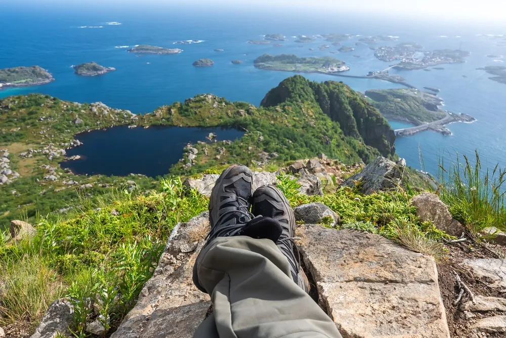
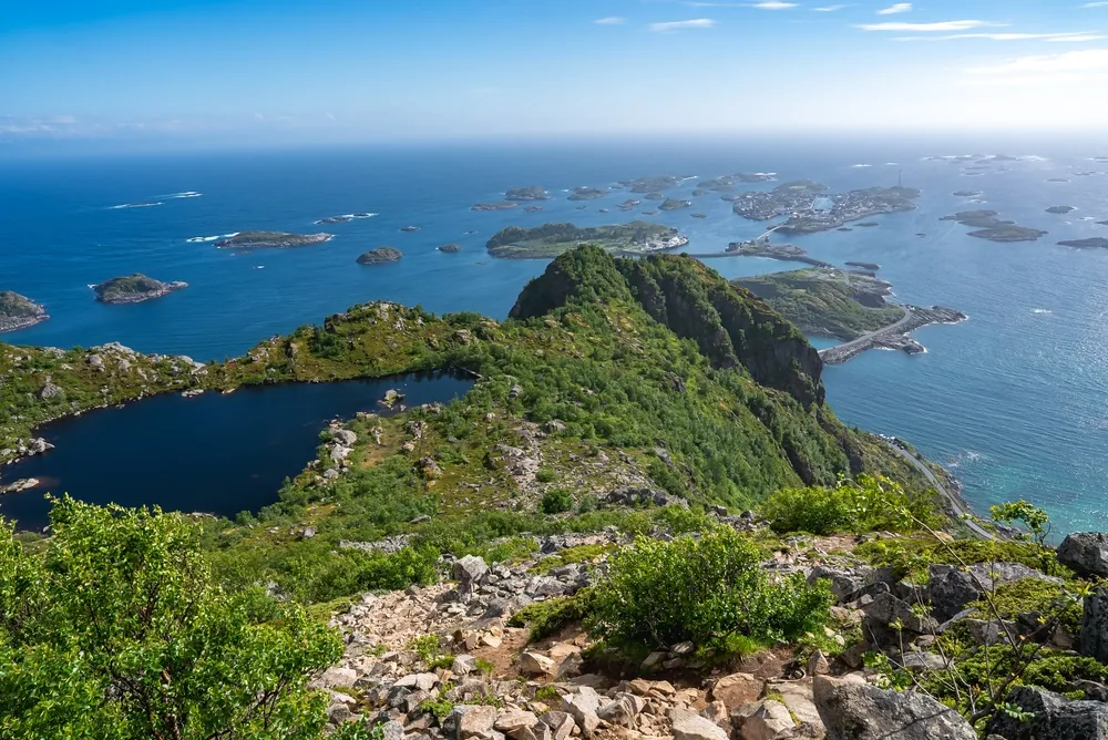
Festvågtind rises to 541 metres directly above Henningsvær on Austvågøy. The official route is only about 1.3 kilometres each way, but climbs more than 500 metres and normally takes 60–90 minutes in each direction. From the ruins of the old water reservoir at Festvåg, steps lead into a large boulder field where the route is initially difficult to read. Keep right for the established alternative via Heiavatnet at 189 metres; crossing the dam gives access to a viewpoint southwest of the lake that is a worthwhile shorter turnaround. The middle line climbs more directly through scree. Do not follow the far-left path, which leads to climbing routes on Festvågveggen rather than the summit. Higher up, the alternatives meet on steep, loose ground before two short scrambling steps of roughly two to three metres. The summit view covers Henningsvær, Vestfjorden and the climbing cliff Presten, but the small upper area can become crowded. Erosion has created loose rock, so stay on the established line, leave space between walkers and avoid dislodging stones onto people below. Visit Lofoten recommends a guide for hikers without experience in terrain of this difficulty.
Highlights
- ✓ Summit view over Henningsvær, built across a cluster of small islands and skerries
- ✓ Over 500 metres of ascent packed into roughly 1.3 kilometres of trail
- ✓ Heiavatnet, a small pond partway up marking the halfway point
- ✓ Views toward Vågakallen and the surrounding Austvågøy peaks
Getting There
Paid parking is available beside the buildings at Festvåg. An alternative car park is at Engøya, about 1 km toward Henningsvær.
Municipality: Vågan (Austvågøy), Nordland
Trailhead: 68.171693, 14.220374 · Open in Google Maps
Before You Go
Festvågtind is short in kilometres but demanding in terrain. At the lower boulder field, decide deliberately: the right-hand trail via Heiavatnet is the established, less direct line; the middle scree line is steeper; the far-left route is for climbing terrain and does not reach the summit. Stay on your chosen line to reduce erosion and rockfall exposure, and do not park on the road.
Information checked: September 2026, against Visit Lofoten's Festvågtind route guidance
⚠️ Safety Notes
- The trail is steep, worn and rough, with large boulders, loose rock and sections of scree. Wear suitable mountain footwear and move carefully, especially on the descent.
- After rain the trail becomes genuinely treacherous, and wet rock in the boulder field is slippery
- At the lower boulder field, avoid the far-left path: it leads to climbing terrain on Festvågveggen, not to the summit
- The summit is small with steep ground falling away toward the fjord — keep well back from edges, especially in wind or when the top is crowded
- Sea fog and low cloud can move in quickly, and the upper section has stretches of faint trail rather than a clear path
- Winter hiking is generally not recommended because the route is very steep. Snow and ice require appropriate footwear and crampons.