About This Hike
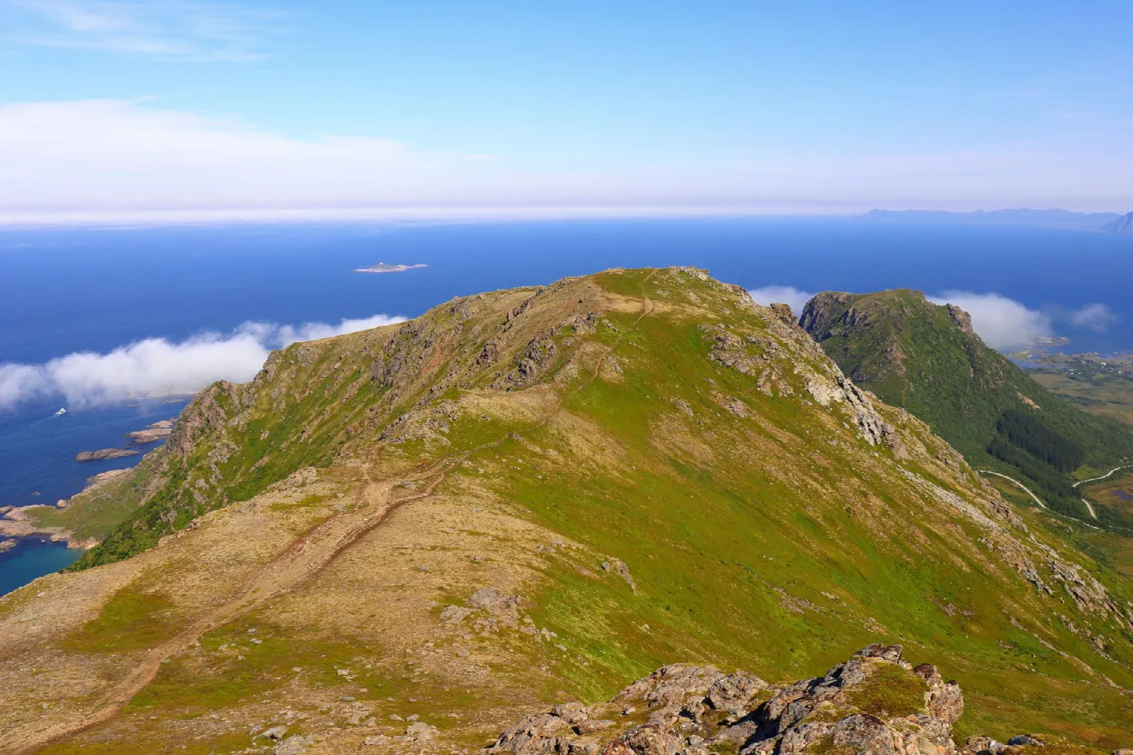
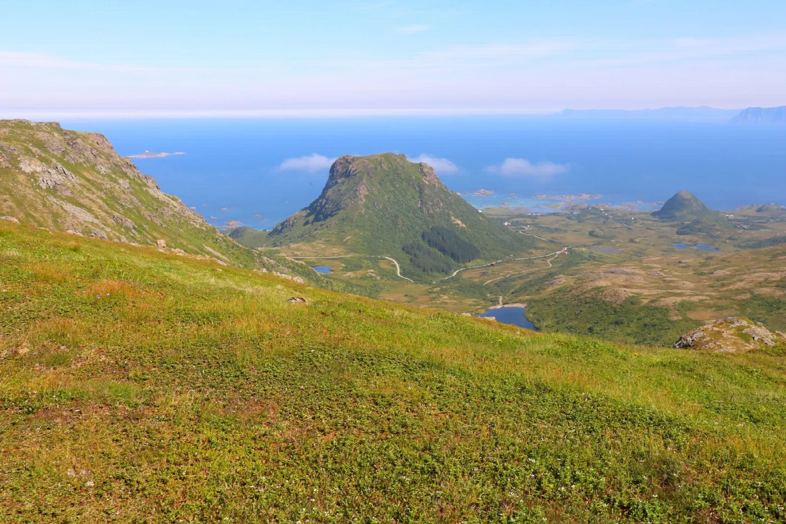
Måtinden rises 408 metres above Andøya's exposed west coast between Stave and Bleik. Most visitors use the Baugtuva route from Fv7702 because it is the shortest and easiest of the three established approaches. It is about 3.8 kilometres each way, or 7.6 kilometres return, and normally takes three to four hours. The marked trail first crosses wet moorland, then gains roughly 300 metres in its steepest, rockiest section before easing onto an undulating plateau. Keep to the marked line across the open ground rather than following every minor track. Near the summit, the view opens over Høyvika's hidden beach, Bleik, Bleiksøya and the Norwegian Sea. The modest summit height is misleading: there is no shelter from Atlantic wind, rain or rapidly arriving sea fog, and the seaward side ends in high, unfenced cliffs. Turn around before the final viewpoint if gusts affect balance or cloud hides the route. Måtinden is a highlight of the Andøya National Scenic Route, but the longer routes from Bleik or via Høyvika are separate plans with different transport needs. Use the designated Baugtuva parking and never stop on the fast, exposed road shoulder when it is full.
Highlights
- ✓ Broad 408-metre summit plateau with an uninterrupted Atlantic horizon
- ✓ Views over Bleiksøya, the puffin island off Bleik, and Bleik's long white beach
- ✓ Cairn-marked rocky plateau reached after the steep first climb
- ✓ Can be linked with the Stave-Bleik coastal trail or extended over nearby Nonstind
Getting There
Use the designated Baugtuva car park on Fv7702 in Stavadalen, between Stave and Bleik. Check current signs and never park on the road shoulder if the car park is full.
Municipality: Andøy, Nordland
Trailhead: 69.235500, 15.949200 · Open in Google Maps
Before You Go
Baugtuva is the practical out-and-back start for most visitors; use the signed parking and do not assume the longer Stave–Bleik coastal trail is a short extension. Wind and sea fog are the deciding conditions here, not simply rainfall. If the plateau is clouded in or gusts make it hard to stand steadily, turn around before the exposed summit area and save the view for another day.
Information checked: September 2026 against National Scenic Route Andøya and Visit Norway information.
⚠️ Safety Notes
- The summit plateau ends in sheer, unfenced cliffs on the seaward side; the plateau is wide enough that you never need to approach the edge
- The ridge and summit are fully exposed to Atlantic weather, and wind, driving rain and sharp temperature drops are normal even on a bright day
- Sea fog is common on Andøya in summer and can roll in within minutes, hiding both the view and the cairns; note the route on the way up and carry a map
- The lower section crosses wet moorland and the first 300 metres of climb is loose and rocky, so ankle-supporting boots are recommended
- Snow lingers into early summer and the route is not recommended in winter because of ice and short daylight