About This Hike
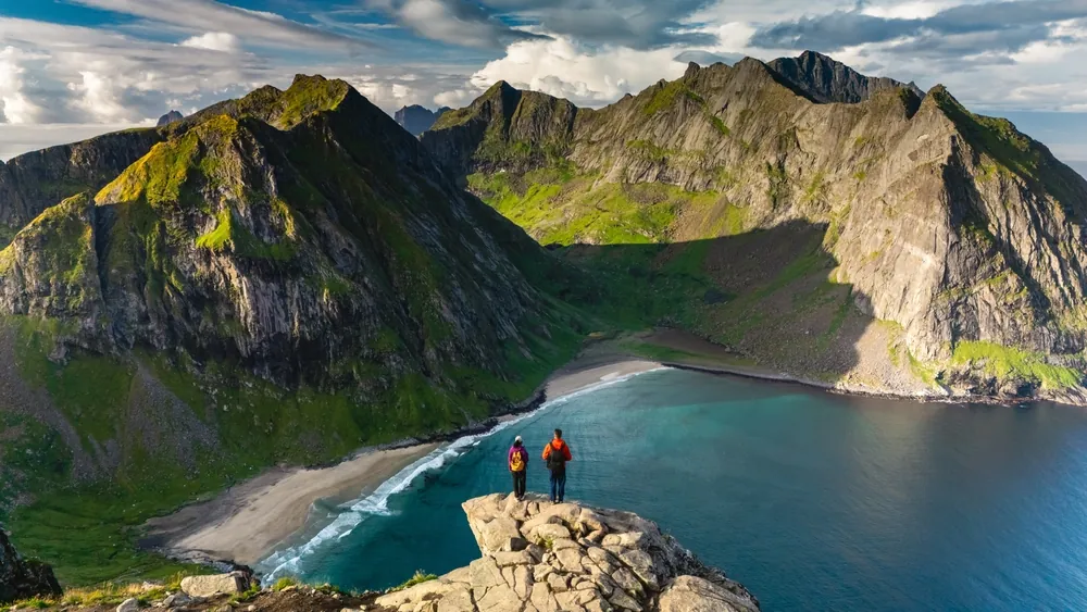
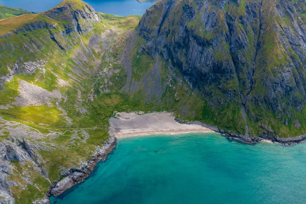
Ryten is a 543-metre peak above Kvalvika Beach on western Moskenesøya. The direct route from Innersand is about 3.5 kilometres each way and usually takes three to five hours return. From the designated car park, use the 350-metre prepared access to the older trail, continue towards Einangen and pass north of Einangsvannet. When Forsvatnet appears below, the route divides: uphill leads to Ryten, while the separate branch descends to Kvalvika. Ryten's ascent is more gradual than many Lofoten summits, but it still crosses uneven, exposed terrain. Near the top, several worn paths approach the clifftop; stay on the established line and keep well back from the unprotected drop above the beach. Adding Kvalvika creates a longer outing with a descent and re-ascent, not a minor detour. Ryten and Kvalvika lie inside Lofotodden National Park, where recreational drone use is prohibited and dogs must be on a lead from 1 April to 15 November. Follow signed construction diversions or temporary closures and never create shortcuts around trail work.
Highlights
- ✓ A 543 m summit directly above Kvalvika Beach
- ✓ Gradual but exposed approach through Einangen and past Forsvatnet
- ✓ Clear route choice between the Ryten summit and the separate beach descent
- ✓ Open views across the Lofotodden National Park coastline
Getting There
Use only the designated parking areas at Fredvang school or Innersand and follow on-site instructions. Never park on road shoulders, passing places, private drives or unsigned land.
Before You Go
The 7 km estimate describes the direct return to Ryten, not a combined descent to Kvalvika. For summer 2026, the national park is reinforcing the Ryten and Kvalvika trails from 22 June to 30 September: signed diversions may be in place and both paths can close on helicopter-transport days. Check the latest local notice before leaving the car, then use the designated Innersand trail rather than creating a shortcut.
Information checked: September 2026, against Visit Lofoten and Lofotodden National Park's current trail notice
⚠️ Safety Notes
- Weather and visibility can change on the exposed upper route; check the forecast and keep well back from the steep cliffs near the summit.
- The cliffs above Kvalvika are very steep. Stay on the established path and keep a safe distance from the edge; do not rely on unofficial photo spots.
- A descent to Kvalvika is a separate extension from the route junction by Forsvatnet; allow extra time and return by the planned route.
- Use the designated parking at Fredvang school or Innersand, follow on-site instructions and stay on the main path to limit erosion.