About This Hike
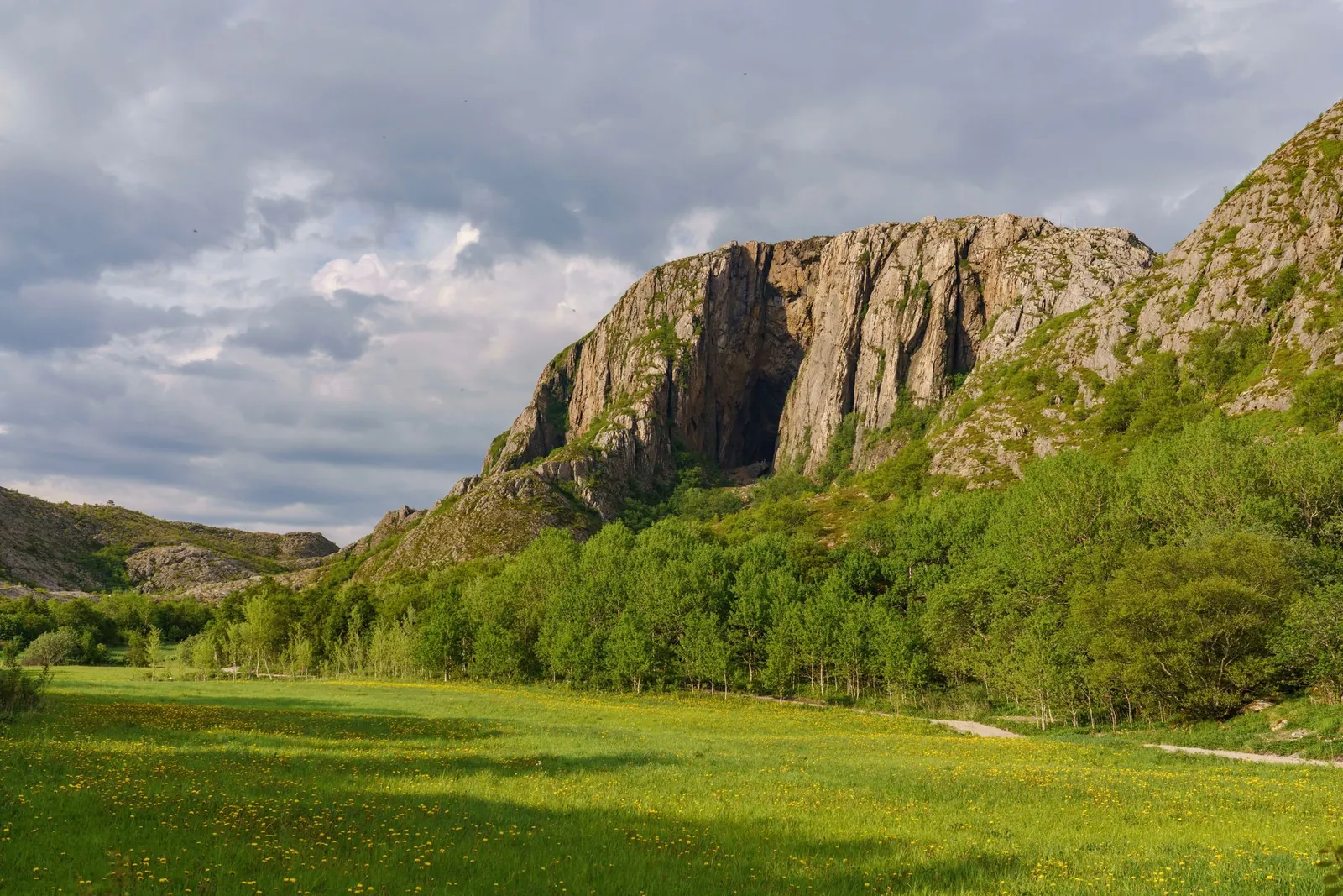
Torghatten is a granite mountain on Torget island, just south of Brønnøysund on the Helgeland coast. Its defining feature is a natural tunnel roughly 160 metres long, 35 metres high and 15–20 metres wide, cut through the mountain when waves and ice worked on weaker rock after the Ice Age. The recommended circular route is about 2.8 kilometres with roughly 100 metres of ascent and normally takes one to two hours. Around 1,100 stone steps, including Sherpa-built sections, lead up to and through the opening, with benches along the way. Walk the marked loop rather than automatically retracing the approach: the two sides give different coastal views and distribute traffic on this protected National Scenic Hike. The route suits many walkers in snow-free conditions, but the steps remain uneven and slippery when wet. Brønnøy municipality specifically advises against entering the tunnel from 15 October to 15 April because freeze-thaw weather increases ice- and rockfall risk.
Highlights
- ✓ Natural tunnel about 160 metres long and 35 metres high, cut straight through the mountain roughly 115 metres above sea level
- ✓ Short, family-friendly walk on a well-maintained path with stone and sherpa steps
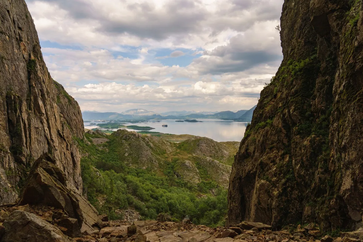
- ✓ Wide sea and island views across the Helgeland coast from the mouth of the hole
- ✓ Renovated trailhead with parking and facilities close to the start of the walk
Getting There
Large car park at the visitor centre opposite Torghatten Camping, 12-15 km from Brønnøysund. Bus stop and toilets on site; the service building operates 1 May to 1 October.
Municipality: Brønnøy (Torget island), Nordland
Trailhead: 65.395990, 12.097210 · Open in Google Maps
Before You Go
Use the large parking area on the mountain's south-east side and walk the marked route as a loop through the tunnel rather than simply retracing the climb. This is an easy 2.8 km outing, but it still includes about 1,100 stone steps and slippery rock in rain. Most importantly, the municipality advises against entering the hole from 15 October to 15 April because freeze-thaw conditions can cause ice and rockfall; a fine forecast does not remove that risk.
Information checked: September 2026, against current Visit Helgeland and Brønnøy municipality access and safety information
⚠️ Safety Notes
- The path and stone steps are rocky and uneven and can be slippery when wet or icy, so wear sturdy footwear with a good grip.
- Watch for loose stones underfoot, especially on the steeper sections and around the steps.
- The mountain is exposed to coastal weather that can change quickly, so check the forecast and bring wind- and rainproof layers.
- Keep well back from steep drops and edges around and inside the hole, particularly with children.
- The recommended season is April to October. Brønnøy municipality advises against entering the hole from 15 October to 15 April because freeze-thaw conditions increase the risk of ice and rockfall.
- The route over the summit is a different and much harder proposition — steep, exposed, and around 250 metres of ascent — and should not be confused with the walk to the hole
- Toilets and the service building operate 1 May to 1 October only; outside that window there are no facilities at the site