About This Hike
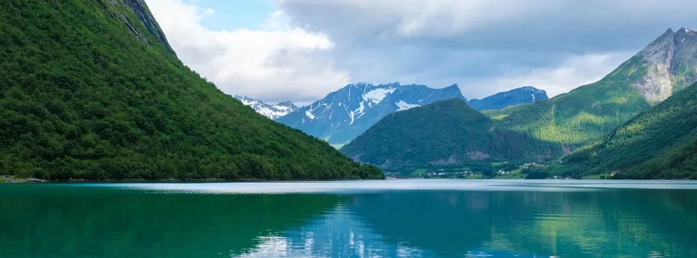
Gunnarråsa is a short, steep viewpoint walk from Sæbø above Hjørundfjorden—not a general circuit around the fjord. Start at the small Kapteinkvia recreation-area car park on Kvievegen, or park in Sæbø centre when its roughly five spaces are occupied. Follow the signs uphill beside the avalanche barrier, cross the newer construction road and continue through alternating forest and open ground. The route is about 1.38 km each way, climbs the full 370 metres to the viewpoint and normally takes 45–60 minutes uphill. You have arrived when you reach the marker stone, the Fredbua shelter, hammock and swing. The outlook frames Sæbø and Hjørundfjorden between peaks including Saksa, Slogen, Jakta and Dalegubben. Despite the short distance, the sustained gradient and slippery forest ground make this a real climb; allow more time for children or wet conditions. Buses connect Ørsta with Sæbø, while travellers arriving from Urke or Øye can use the Leknes–Sæbø ferry; confirm current departures before relying on either. Mobile coverage is reported on the route, but carry the map anyway. A trail continues towards Dalegubben, yet that 7.2 km mountain outing is a separate objective with much greater ascent. Turn around at Gunnarråsa unless you prepared specifically for it.
Highlights
- ✓ Gunnarråsa’s 370-metre viewpoint above Sæbø
- ✓ Shelter at Fredbua and a swing overlooking Hjørundfjorden
- ✓ A short, marked forest climb with wide Sunnmøre Alps views
- ✓ A clear starting point for longer routes only when properly planned
Getting There
Use the small Kapteinkvia parking area by the signed start in Sæbø, or park in Sæbø centre when it is full. Toilets are available at the Kapteinkvia recreation area.
Before You Go
Use Gunnarråsa as the defined Hjørundfjord panorama walk: start at Kapteinkvia in Sæbø, follow the signs to Fredbua, and expect a genuine 370-metre climb despite the short distance. The route is suitable for a compact outing only when the forest path is dry enough for the group. Dalegubben begins beyond the viewpoint but should be planned as a separate high-mountain day, not added on because the lower route felt easy.
Information checked: September 2026, against current Morotur Gunnarråsa route, access and parking information
⚠️ Safety Notes
- The forest path has steep sections and can be slippery in rain, frost or snow; use shoes with good grip and turn around if footing is poor.
- The viewpoint has open terrain and steep ground nearby. Keep children close and stay back from edges.
- The Gunnarråsa route is a short climb, not the full Dalegubben route. Do not continue uphill without a separate mountain plan, map and weather margin.