About This Hike
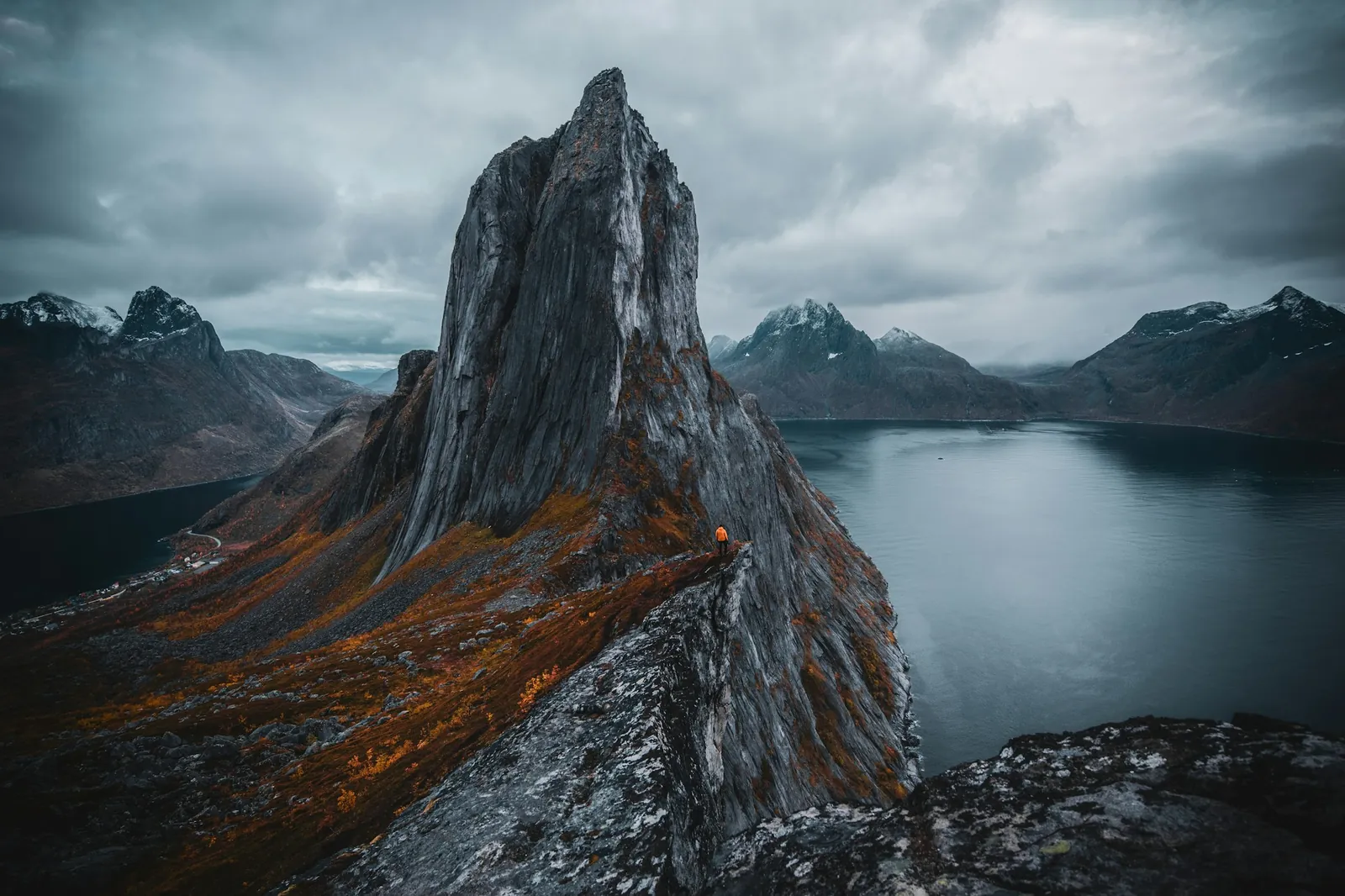
Segla is a 639-metre peak above Fjordgård and one of Senja's best-known mountain hikes. The established return from Fjordgård is about 4.6 kilometres with 588 metres of ascent and normally takes around three and a half hours. Follow the signed access towards Storvatnet, then take the marked Segla branch rather than continuing towards Hesten. The trail climbs steadily to a shoulder overlooking Mefjorden before turning much steeper on the final ridge. Loose sand and gravel here can dislodge stones onto hikers below, so keep spacing and avoid overtaking carelessly. The compact summit sits beside an approximately 600-metre drop towards the fjord; the edge is not protected, and backing up for a photograph is particularly dangerous. Segla and Hesten are separate hikes even though they share Fjordgård facilities: Hesten provides the famous side-on view of Segla, while this route reaches Segla itself. Use the designated paid parking and harbour toilet, keep Storevatnet clean because it supplies local drinking water, and turn back if cloud, wind or wet ground makes the ridge unsafe.
Highlights
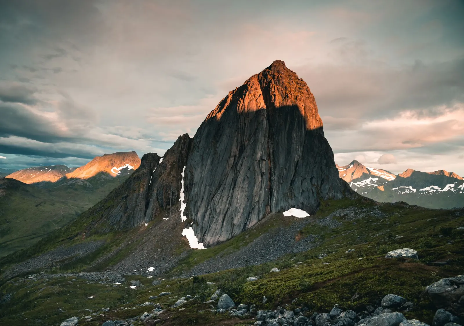
- ✓ A 639 m summit rising sharply above Mefjorden
- ✓ Steep final ridge with wide views across northern Senja
- ✓ A clearly separate summit experience from the famous Hesten viewpoint
- ✓ Compact summit beside an unprotected, approximately 600 m fjord-side drop
Getting There
Use paid parking in Fjordgård and follow local signs. The facilities at Fjordgård fishery harbour include a toilet and residual-waste bin.
Before You Go
Segla and Hesten share the Fjordgård parking area but are different steep mountain days. Choose one summit and its signed path before you leave; do not assume that reaching the popular photo terrain on either mountain is a short extension of the other. Use the harbour facilities, keep Storevatnet clean, and make the summit-edge decision based on weather and footing rather than the queue for photos.
Information checked: September 2026, against UT.no's current Segla route and Senja municipality visitor guidance
⚠️ Safety Notes
- The summit area is close to a very steep drop towards Mefjorden. Stay well back from the edge and do not leave the established trail for photographs.
- The route is steep and the terrain can be loose. Wear footwear with good grip and take extra care if the ground is wet.
- Weather and visibility can change quickly on Senja. Carry warm, windproof and waterproof layers, and turn back if conditions deteriorate.
- Snow and ice change the character of the route substantially. Do not treat it as a normal summer hike unless your experience and equipment match the conditions.
- Use the provided toilet facilities, take all waste with you and avoid polluting watercourses. Storevatnet near the Segla trail is part of Fjordgård’s water supply.