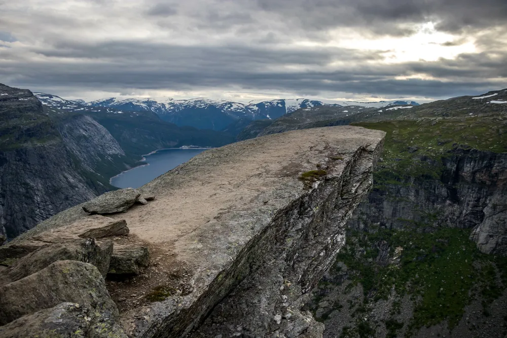
About This Hike
Trolltunga is a rock formation above Ringedalsvatnet in Hardanger and a very demanding mountain day, not a short walk to a photo stop. From P2 Skjeggedal, the signed and well-maintained route is 27 km return, normally 8–12 hours, with about 800 metres of total ascent. Seasonal access to P3 Mågelitopp reduces the walking distance to 20 km and the usual time to 7–10 hours, but P3 has limited capacity and its steep access road can close because of snow or ice. Shuttle buses connect Odda, P1 Tyssedal and P2 Skjeggedal, with a separate seasonal service from P2 to P3. Experienced hikers may walk independently during the official summer window from 1 June to 30 September; outside that period, use a qualified guide. Start early enough to finish before dark, check the live trail update and forecast, and carry food, water, a headlamp and warm waterproof layers. The three emergency shelters are for distress, not planned rest stops or accommodation.
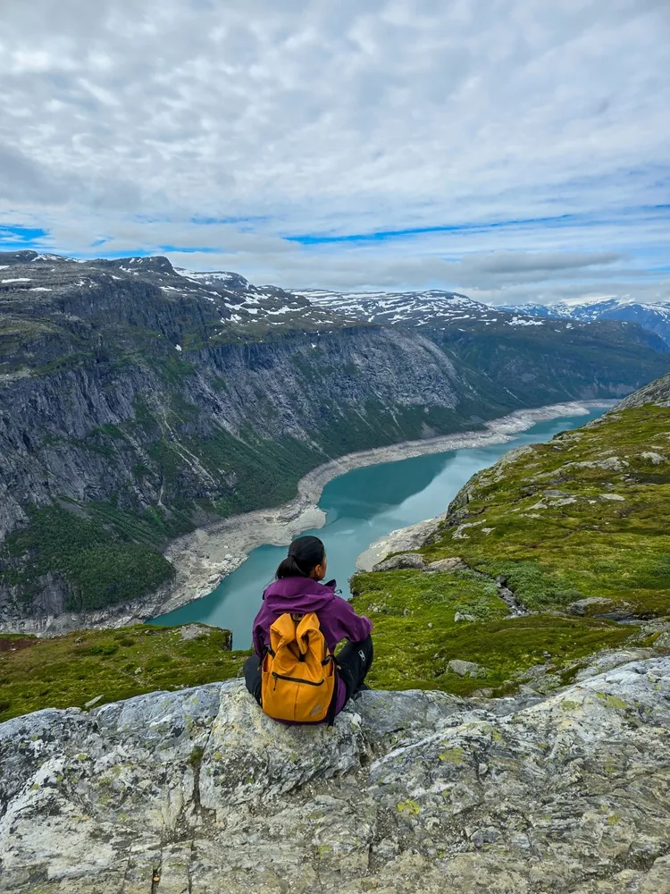
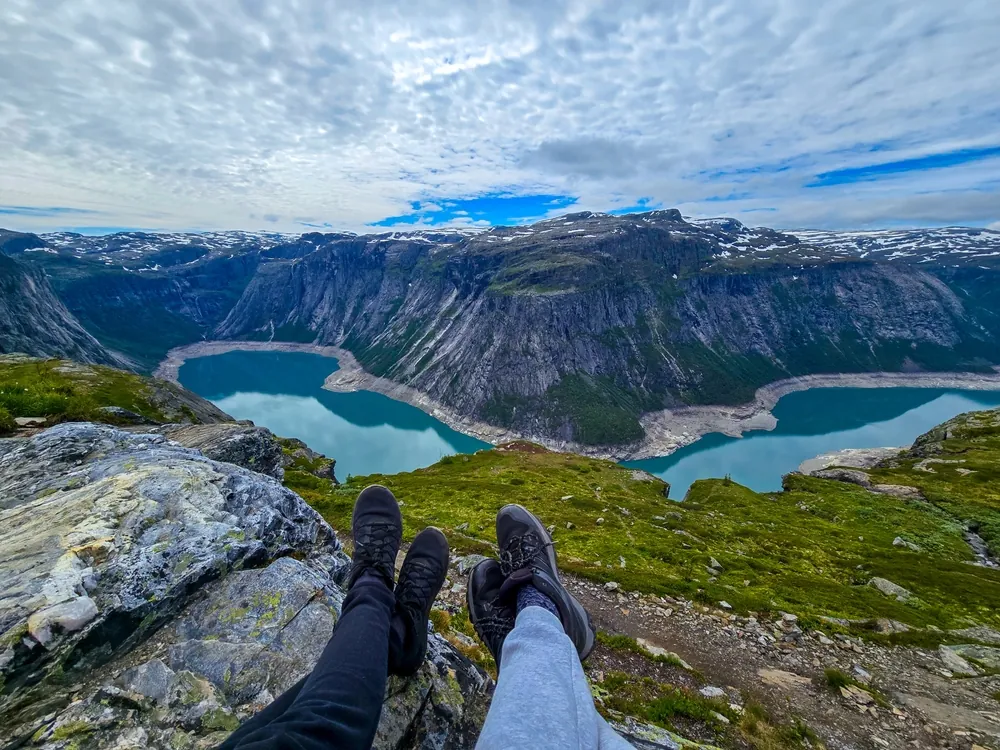
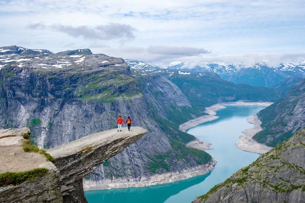
Highlights
- ✓ The narrow Trolltunga rock ledge above Ringedalsvatnet
- ✓ A long high-mountain route with views across the Hardanger plateau
- ✓ Choice of a 27 km start at P2 Skjeggedal or seasonal 20 km start at P3 Mågelitopp
- ✓ Three emergency shelters at Floren, Endåen and Tyssehøl for genuine distress
Getting There
Use only Trolltunga’s official P1 Tyssedal, P2 Skjeggedal or seasonal P3 Mågelitopp parking. P3 availability, access and shuttle services are seasonal; check Trolltunga’s current parking and transport information before travelling.
Before You Go
Your starting point changes the day substantially. P2 Skjeggedal is the full 27 km, 8–12-hour option; P3 Mågelitopp shortens the hike only when the seasonal road, parking or shuttle is operating. Decide and book that transport first, then confirm the official trail update on the morning of the hike. The emergency shelters are for distress, not planned breaks or overnight use.
Information checked: September 2026, against Trolltunga's official trail, parking and shuttle information
⚠️ Safety Notes
- Start early and carry a headlamp; even from P2 this is an 8–12 hour day, and you must return before dark.
- Do not set out in strong wind, heavy rain or fog. High-mountain weather can change quickly.
- Carry warm windproof layers, extra food and water, and check the forecast before setting out.
- There are three emergency shelters—Floren, Endåen and Tyssehøl—for distress or sudden bad weather; they are not normal service facilities.
- Outside the official summer season, do not treat this as a normal self-guided hike: use a qualified local guide or choose another route if snow, ice, limited daylight or unstable weather is present.