About This Hike
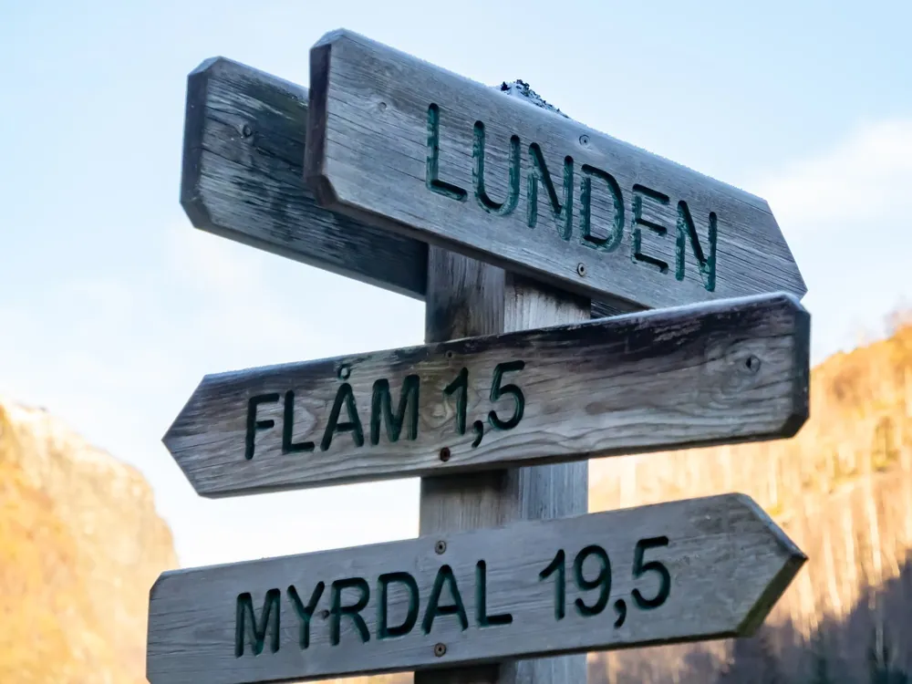
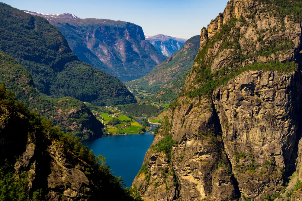
Aurlandsdalen is one of Norway's best-known valley hikes, often nicknamed Norway's Grand Canyon. The classic day stage runs point to point from Østerbø, at about 820 metres, down to Vassbygdi. Current local descriptions give it as roughly 19–20 kilometres, six to seven hours and about 750 metres of net descent. Mostly downhill does not mean easy: the day is long, includes short climbs and exposed passages, and repeatedly crosses uneven rock and roots. Follow the red T marks past Nesbøvatnet, old farms and narrow gorge scenery. At Tirtesva, the restored upper route via Bjønnstigvarden gives the more dramatic view but includes a steep descent protected by railings and steps; make a deliberate choice at the junction. Sinjarheim and Almen add important cultural history before the final descent. This is not a loop, so reserve or confirm transport before starting. Parking at Vassbygdi and taking a morning bus uphill leaves your car waiting at the finish and avoids depending on an evening connection.
Highlights
- ✓ Norway's Grand Canyon
- ✓ Multiple waterfalls
- ✓ Historic mountain farms
- ✓ Varied dramatic terrain
Getting There
Park at Østerbø or Vassbygdi and arrange the return leg before starting. Østerbø Fjellstove offers free parking for hikers; Vassbygdi service building is the recommended end-point parking area.
Before You Go
The classic Østerbø–Vassbygdi route is a one-way, six-to-seven-hour day, so solve transport before walking. Seasonal bus services can be restricted to certain days, and some operators require a reservation to guarantee a seat. Park at the finish and travel up first, or book transport explicitly; do not assume a same-day return connection will be available after a long descent.
Information checked: September 2026, against Østerbø Fjellstove's current 2026 bus and transport information
⚠️ Safety Notes
- The descent from Bjønnstigvarden is steep and assisted by handrails and steps; use careful footing and stay on the marked path.
- This is a long point-to-point route with about 19–20 km of walking and a substantial descent. Allow six to seven hours and plan for the downhill terrain.
- Plan transport before setting out: the seasonal hiking bus connects Østerbø, Vassbygdi, Aurland and Flåm, but timetables can change.