About This Hike
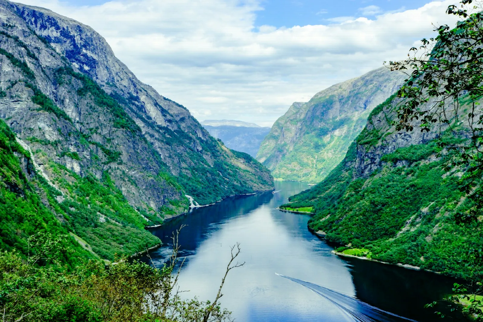
Rimstigen is a steep restored pack trail above Bakka on the Nærøyfjord, in Aurland municipality, Vestland. It climbs from close to sea level to a viewpoint at about 725 metres in roughly 2.2 kilometres, a round trip of about 4.4 kilometres. The path was originally used to move livestock and hay up to summer pastures belonging to the Bakka and Tufto farms, and has been rebuilt by local volunteers and Nepali sherpas, with laid stone steps on the steepest sections. It zigzags up the mountainside below Bakkanosi and Rimstigfjellet, starting in forest and finishing above the treeline with a view straight down the UNESCO-listed Nærøyfjord. Published walking times vary widely, from three hours to six hours for the return trip. The descent follows the same route. There are no toilets on the trail and no reliable drinking water along the way.
Highlights
- ✓ Viewpoint at roughly 725 metres looking directly down the UNESCO-listed Nærøyfjord
- ✓ Historic pack route rebuilt with laid stone steps by local volunteers and Nepali sherpas
- ✓ Around 700 metres of ascent packed into roughly two kilometres of trail
- ✓ Climbs through the old Bakka and Tufto summer pasture land beneath Bakkanosi and Rimstigfjellet
Getting There
Small car park by the trailhead on the Bakkavegen road between Bakka and Tufto, about 5 km from Gudvangen (Kvernaviki). Capacity and fees not published.
Municipality: Aurland, Vestland
Before You Go
Rimstigen is a short route only on the map: nearly all of the ascent comes in its first 2.2–2.7 km. Use it as an out-and-back from Bakka, leave a time margin for the descent and do not continue into the longer historic route toward Breidalen unless you have separately planned that mountain day. The World Heritage Park specifically flags winter and early spring avalanche exposure, as well as waterfall spray during high flow; those are turn-around conditions, not details to manage through.
Information checked: September 2026 against Nærøyfjorden World Heritage Park route information.
⚠️ Safety Notes
- The trail has steep, narrow and exposed sections. It is not suitable for children and is recommended for experienced hikers only
- There is avalanche danger here in winter and early spring, with avalanche debris still visible across the path into the summer; landslide risk also rises after heavy rainfall
- When water flow is high, spray from the waterfall blows onto the trail and can soak you
- The laid stone steps and bare rock become very slippery when wet, and the ground falls away steeply below much of the upper path
- Mobile coverage is limited, and the access road along Bakkavegen is itself exposed to rockfall and avalanche in bad weather