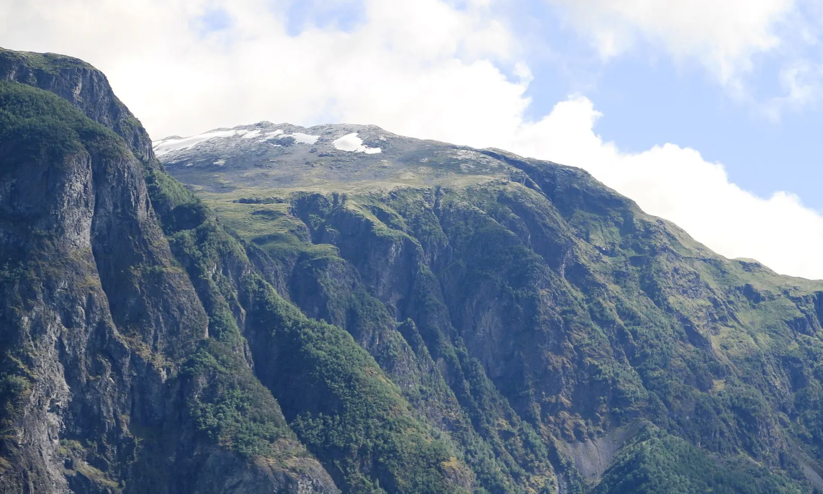
Photo: Bjoertvedt / Wikimedia Commons · CC BY-SA 4.0 · resized and converted
About This Hike
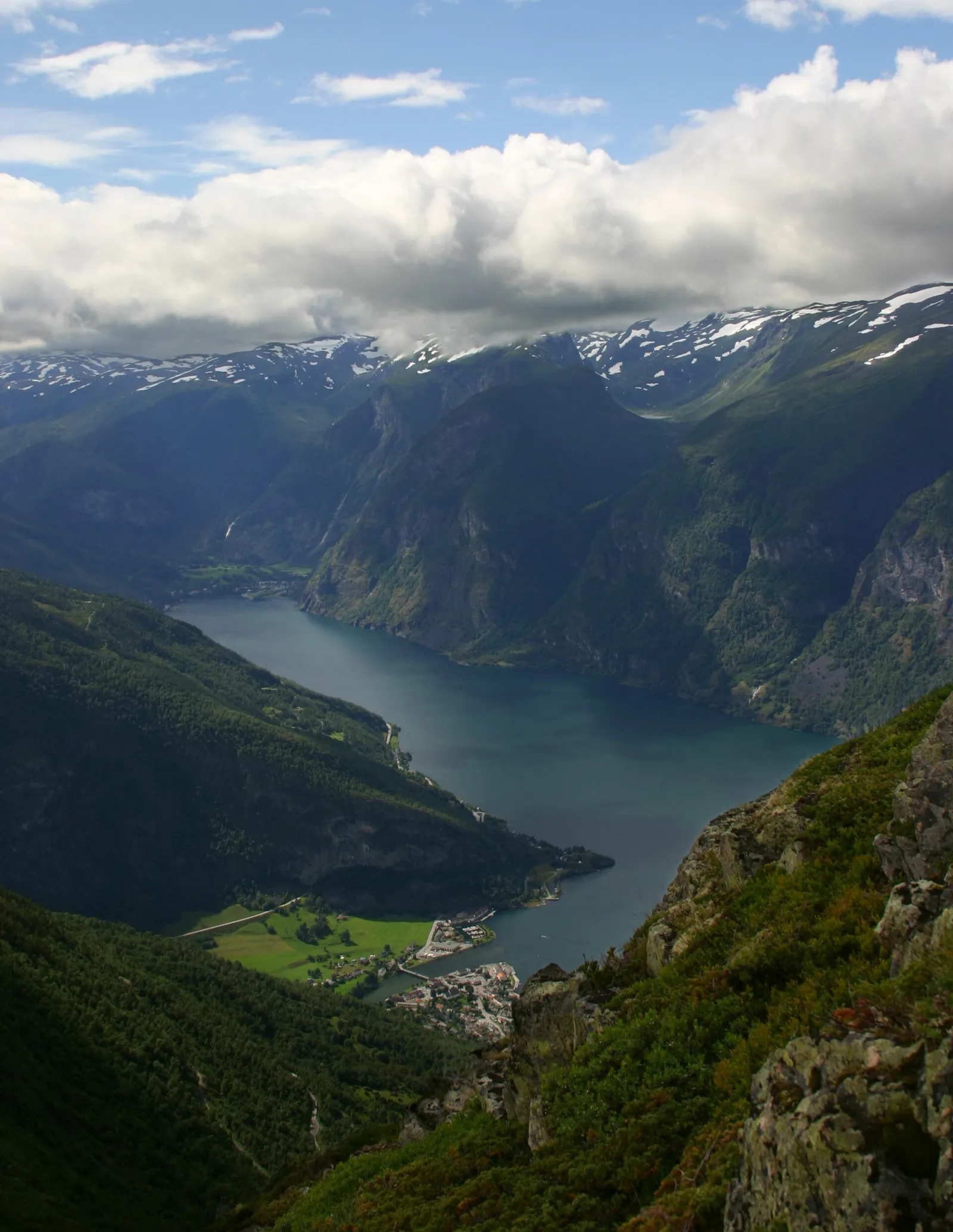
Prest rises above Aurlandsvangen on the eastern side of Aurlandsfjord. The usual route begins at the small Kvammadal parking area on Bjørgavegen, about two kilometres beyond Stegastein and roughly 820 metres above sea level. Current visitor guidance lists the return as 6.5 kilometres, two to three hours and challenging. The first section towards Hovden is gentler before the path steepens towards Røyrgrindgjelet, where loose footing and a sheer drop demand care. Most visitors aim for the beacon and fjord viewpoint at 1,363 metres, around 550 metres above the trailhead. This is the familiar photo destination, but it is not Prest's true summit: the 1,478-metre top lies farther along the ridge and requires additional time and stable conditions. At the earlier path split, Høgåsen is the shorter alternative for hikers who want a fjord view without committing to Prest's steepest terrain. Parking is very limited, there are no toilets or dependable water at the trailhead, and the seasonal Prest bus is often the better plan. Download a proper route map because signposting can be sparse.
Highlights
- ✓ Cairn viewpoint at 1,363 m directly above the Aurlandsfjord, over a kilometre below
- ✓ Trailhead at 820 m on Bjørgavegen, the Aurlandsfjellet mountain road
- ✓ Option to continue along the ridge to the true summit of Prest at 1,478 m
- ✓ Stegastein viewpoint, two kilometres back down the road, with toilets from May to October
Getting There
Limited parking at Kvammadal on Bjørgavegen, approximately 2 km beyond Stegastein. Check current bus options to the Prest stop before travelling.
Municipality: Aurland, Vestland
Trailhead: 60.918030, 7.230860 · Open in Google Maps
Before You Go
Prest needs a transport decision before the walk: Kvammadal has few parking spaces, so use the seasonal bus when it is operating instead of treating Stegastein as overflow parking. Fill water before starting; there are no public toilets or dependable water on the hike. The shorter Høgåsen branch gives a fjord view without committing to the steeper Prest ascent, while continuing beyond the 1,363-metre cairn toward the true summit is a separate ridge extension that needs extra time and stable conditions.
Information checked: September 2026 against Visit Norway / Visit Sognefjord route information.
⚠️ Safety Notes
- The viewpoint sits above sheer drops to the fjord with no barriers. Stay well back from the edge, and do not approach it in strong wind or on wet rock
- Røyrgrindgjelet is a steep, exposed section where the path drops sharply, and loose stones make footing unreliable in both directions
- Signposting is sparse in places, and rain or fog can make the route hard to follow — carry a map and be prepared to turn back
- Snow can linger into June and returns in October; on snow the exposed sections become significantly more serious
- Parking is very limited and there are no toilets or water at the trailhead; consider the seasonal bus from Flåm or Aurland instead
- Dogs must be kept on a lead between 1 April and 1 November, and sheep graze on the mountain