About This Hike
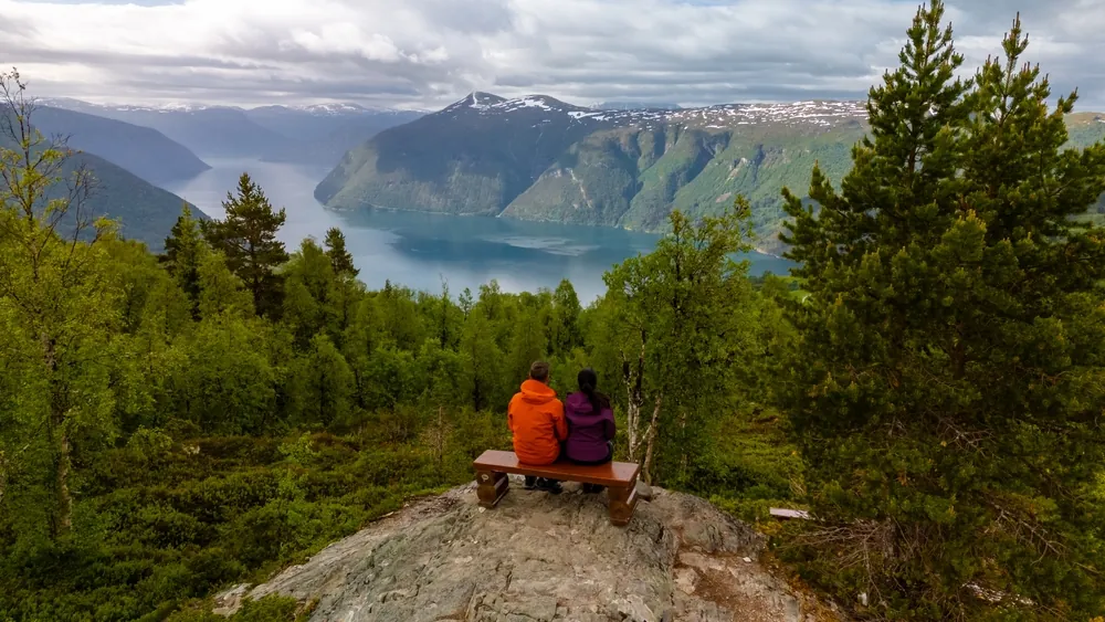
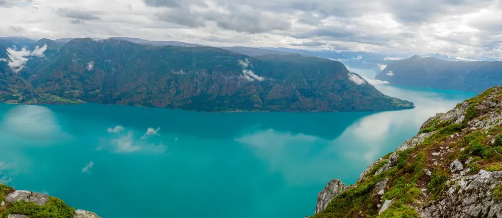
Molden rises to 1,116 metres above Lustrafjorden and is one of Luster’s best-known summit viewpoints. The standard 8.6 km return route starts at Krossen in Mollandsmarki and is graded moderately demanding, with roughly four and a half hours recommended for the outing. From the car park, follow the forest track for about 300 metres, turn onto the red-marked path and later use a second forest-road section before the trail climbs more steeply towards Svarthiller. This ledge is already a worthwhile viewpoint across the fjord towards Ornes, but the route then turns and continues through open mountain terrain to the summit cairn. The final panorama extends along several arms of the Sognefjord landscape; walk around the broad summit area carefully rather than assuming the first cairn gives every view. Use the public toilet at Krossen and fill water before starting, because dependable water can be limited higher up. The normal hiking season is June to October, dogs must be on a lead from 1 April to 1 November, and early or late snow can make the upper route substantially harder.
Highlights
- ✓ Panoramic Lustrafjord views
- ✓ Multiple fjord arms visible
- ✓ Marked summit trail
- ✓ Near Urnes Stave Church (UNESCO)
Getting There
Krossen parking in Mollandsmarki; a public toilet is available at the trailhead
Before You Go
Molden is a true summit hike, not a quick fjord viewpoint. The 8.6 km Krossen return includes around 600 metres of ascent and open terrain above the forest, so use the trailhead toilet, fill water before leaving, and retain enough daylight for the descent. For a first visit, follow the marked Krossen route rather than combining it with longer local variants.
Information checked: September 2026, against current Luster visitor-route guidance
⚠️ Safety Notes
- Stay on the marked trail and assess weather and ground conditions before continuing into open mountain terrain.
- Bring suitable footwear, warm windproof layers, food, water and a map. Conditions can change quickly higher up the mountain.
- Snow and wet ground can affect the route early and late in the season. Turn back if conditions do not match your experience and equipment.