About This Hike
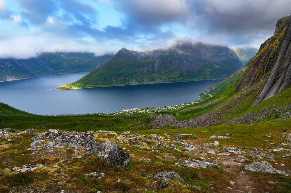
Hesten rises above Fjordgård on Senja and gives the classic head-on view of the pointed Segla peak. The established Hesten–Stavelitippen circuit is about 4.5 km with 489 metres of ascent and normally takes around three hours. Begin at the paid visitor parking by Fjordgård fishing harbour, use the toilets there and follow the dedicated local signs rather than simply joining whichever path looks busiest. The route climbs through the former ski slope, crosses small streams and becomes steeper and rockier as it reaches Stavelitippen and Hesten. Short scrambling sections and exposed ground near the viewpoints make this a compact mountain hike, not an easy scenic walk. Hesten and Segla are separate objectives: this route faces Segla from the neighbouring mountain and does not continue onto its summit. Carry water, food and windproof layers even on a clear morning, because the upper ridge is exposed to fast changes in wind and cloud. Follow the marked line to reduce erosion, keep back from cliff edges and turn around if wet rock, ice or poor visibility makes the scrambling uncertain.
Highlights
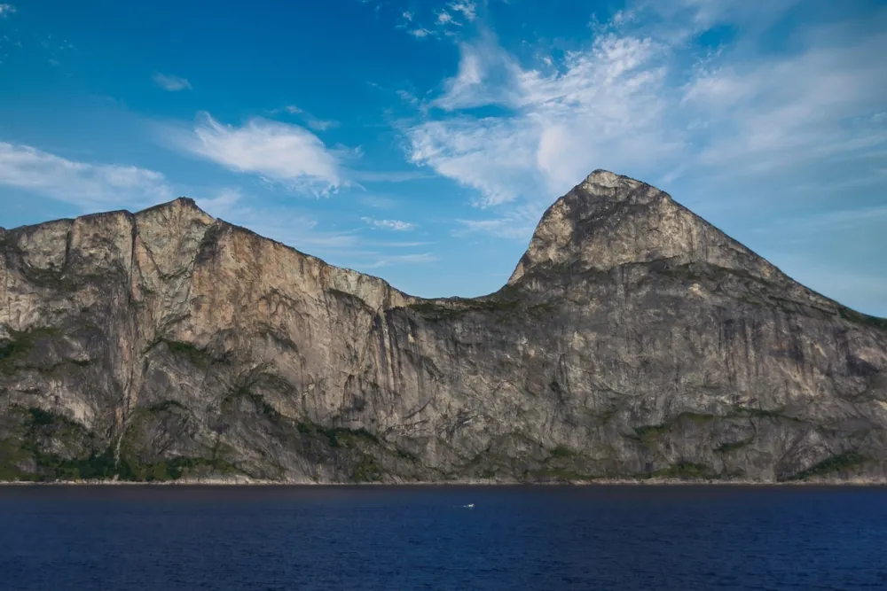
- ✓ The classic head-on view of Segla from the neighbouring mountain
- ✓ A compact circuit linking the Stavelitippen and Hesten viewpoints
- ✓ Steep upper terrain with changing perspectives over Fjordgård
- ✓ A clearly separate objective from the more serious Segla summit route
Getting There
Use the paid parking at Fjordgård fishing harbour / Segla Parking. The municipality lists toilets and waste facilities there; check local signs and current arrangements on arrival.
Before You Go
Hesten is the mountain for the broad, head-on view of Segla; it is not the easier version of the Segla summit hike. The 4.5 km and 489 m figures cover the Hesten–Stavelitippen circuit, not a continuation to Segla. Both start from Fjordgård but require a steep climb and an exposed-summit judgement. Follow the dedicated signs from the shared parking, bring enough water for a three-hour outing, and return if wet rock, wind or visibility makes the upper route unsuitable.
Information checked: September 2026, against UT.no's current Hesten–Stavelitippen route and Senja municipality visitor guidance
⚠️ Safety Notes
- The route is steep and the upper terrain is rocky; turn around if the surface is wet, icy or your footing is uncertain.
- Follow the marked route and local signs to limit erosion and avoid creating parallel paths.
- Check current weather and conditions before setting out; Visit Senja directs hikers to Varsom for safety updates.