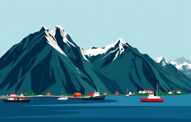
Lofoten has beginner-friendly walks, but the islands also make short mountain routes look easier than they are. Steep ground, loose rock, exposed edges, fast weather changes and limited parking all matter. For a genuine first outing, begin with a beach walk such as Bunes or Kvalvika before considering Ryten or Reinebringen.
Four popular choices compared
| Route | Published route | Honest level | Main complication |
|---|---|---|---|
| Bunes Beach | 5.6 km return | Easy walking | Passenger-boat timetable controls the day |
| Kvalvika Beach | 6 km return | Easy in good, snow-free conditions | Wet ground, wind and parking arrangements |
| Ryten | 7 km return | Moderate step up | Longer climb and very steep cliff edges |
| Reinebringen | 2 km stair route, plus parking approach | Short but strenuous | More than 1,500 steep stone steps |
Bunes Beach: easy terrain, transport-dependent plan
Bunes is reached by passenger boat from Reine to Vindstad. From the pier, follow the road through the village and the signed path over the low pass to the beach. Visit Lofoten describes the walk as 2.8 kilometres each way and suitable for a broad range of visitors. The walking is the easy part; catching the correct return boat is the essential planning task.
Check and book current sailings before travelling, arrive early and carry everything you need because Vindstad has no shop. The beach is exposed to wind and swell. Stay away from rockfall areas below Helvetestinden, and do not turn the beach visit into an unplanned mountain ascent.
Kvalvika Beach: a straightforward mountain-beach route
Kvalvika gives the classic combination of moorland, mountain walls and open sea. The direct beach return in our guide is about six kilometres and takes around three hours. Use current designated parking, follow temporary trail-work diversions and expect mud after rain. The descent to the beach is rougher than a paved coastal promenade, so footwear with grip matters.
At the junction near Forsvatnet, choose deliberately between Kvalvika and Ryten. Adding Ryten creates a longer outing with more ascent and exposure; it is not a free extra simply because both share part of the approach.
Ryten: a good next step, not the easiest first walk
Ryten is more gradual than many Lofoten summits, but it is still a mountain hike. Allow three to four hours for the seven-kilometre route in our guide. Near the famous viewpoint, the cliff is genuinely steep. Keep well back, supervise children closely and never step backwards while composing a photograph.
Reinebringen: short distance, sustained effort
Reinebringen's stone staircase is simple to follow when open, yet the climb is relentless and can be crowded. The outer-harbour parking approach adds significant walking before and after the steps. Check Moskenes municipality's current opening information, avoid snow and ice, and do not leave the constructed staircase. Reinebringen is a reasonable goal for fit visitors in suitable conditions, but it should not be sold as an effortless beginner hike.
Routes to save for later
Festvågtind is steep and hard, while Svolværgeita is a technical climb requiring climbing equipment and appropriate expertise, normally with a guide. Djevelporten also involves steeper mountain terrain than a beach outing. A strong holiday plan leaves room to reject a famous summit when wind, cloud or experience makes it a poor choice.
A sensible two-day progression
- Start with Bunes or Kvalvika in stable weather.
- Assess how the group handled rough ground, wind and the duration.
- Choose Ryten or Reinebringen on another day only if conditions and ability match.
Visit Lofoten advises walkers to use a marked hiking map, carry warm clothing and check the forecast because conditions change quickly. Those habits matter even when a route is described as easy.