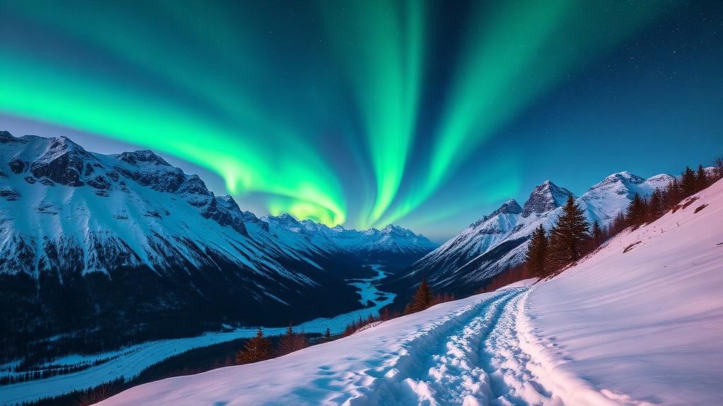
Winter hiking in Norway should begin with terrain choice, not a list of summer summits. Snow can hide paths, ice can transform steps and avalanche runout can reach apparently flat ground. This guide focuses on lower-level walks that may be reasonable candidates when local conditions allow, then explains when to stop and choose a guide or another activity.
First: what “winter hike” means here
The routes below are not guaranteed safe. They are lower-commitment candidates with simple navigation, nearby access or a clear turnaround. You must still check weather, surface and local notices on the day. Independent travel in avalanche terrain is outside the scope of this beginner guide.
Lower-level winter walk candidates
| Route | Normal format | Winter concern |
|---|---|---|
| Sognsvann Loop, Oslo | 3.3 km lake circuit | Compacted snow and ice |
| Stokkelandsvannet, Sandnes | Flat 4 km circuit | Frost, darkness and surface maintenance |
| Fløyen, Bergen | Adjustable summit-area walks | Icy paths; conditions differ from the city |
| Aksla, Ålesund | Short urban viewpoint route | Icy steps and exposed wind |
| Varden, Molde | About one hour on foot | Snow, ice and low visibility |
| Telegrafbukta, Tromsø | Adjustable coastal path | Cold wind, darkness and slippery surfaces |
| Prestvannet, Tromsø | Short lake circuit | Stay off ice unless officially prepared |
Why these are better starting points
Each choice allows an early turnaround and avoids making a remote summit the only definition of success. Sognsvann and Stokkelandsvannet are clear lake circuits. Fløyen has multiple short options and a funicular, although the operating service does not certify every path. Aksla and Varden are close to towns. Telegrafbukta and Prestvannet are recommended by Visit Tromsø as accessible winter walking areas.
Even on these routes, freeze-thaw conditions can create hard ice. Microspikes may help on some paths but are not suitable for every surface or steep terrain. If you cannot walk securely, turn around rather than relying on equipment you have not practised with.
Summer routes that should trigger caution
Routes such as Trolltunga, Besseggen, Reinebringen, Segla and Romsdalseggen must not be treated as ordinary winter versions of their summer hikes. Snow can cover markings, create cornices, increase consequences at edges and introduce avalanche exposure. Seasonal roads, boats and buses may also be closed.
Avalanche terrain is more than a steep slope under your feet
Varsom explains that avalanche release areas are generally steeper than 30 degrees, while runout zones can extend into flatter terrain below. It is therefore not enough to say “our path is flat.” Look at the terrain above and around the route. Persistent weak layers can also allow remote triggering.
Check the regional forecast and terrain map, then make your own local assessment. If you cannot recognise release areas, runout zones and terrain traps, avoid the terrain or go with a qualified guide. A low danger rating is not a promise that every slope is safe.
Winter packing is not summer packing plus spikes
DNT's Mountain Code advises winter travellers to be able to cope with an unplanned stop, including carrying emergency shelter and insulation appropriate to the trip. In avalanche terrain, transceiver, probe and shovel are essential—but only alongside training and safe route choice.
- Warm base, insulating and windproof/waterproof layers
- Hat, gloves and spare insulation
- Head torch plus spare power
- Food, warm drink and delay margin
- Offline map and navigation backup
- First aid and emergency shelter appropriate to the outing
Darkness and transport
Winter daylight varies greatly between southern Norway and the Arctic. Plan with the actual sunrise, sunset and twilight for the date and location. Check the last bus, cable car or boat before departure and allow a generous return margin. Northern lights are never a reason to continue into terrain that has become hard to navigate.
A simple go/no-go check
- Is this a maintained low-level path, or does it enter avalanche terrain?
- What do the weather and Varsom warnings say for the area?
- Can everyone manage the ice, snow, cold and darkness?
- Do you have a route map, turnaround time and nearby alternative?
- Can the group handle an unexpected delay without immediate rescue?
If any answer is unclear, choose a shorter urban walk, a groomed activity or a guided trip. Turning around is a successful winter decision.